HISTORY
FACTS
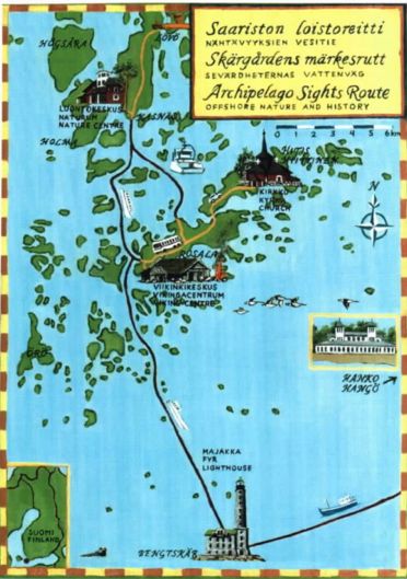
SIGHTS
SERVICE
MAPS
PICTURES
LINKS
SEARCH
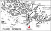
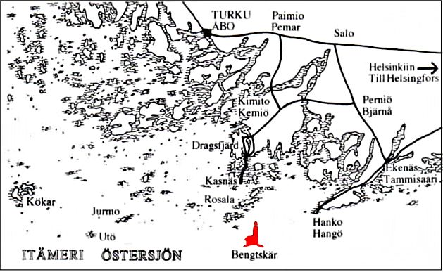
Car route to Rosala and Hitis, larger
print-version here (
print as landscape )
|
|
Maps
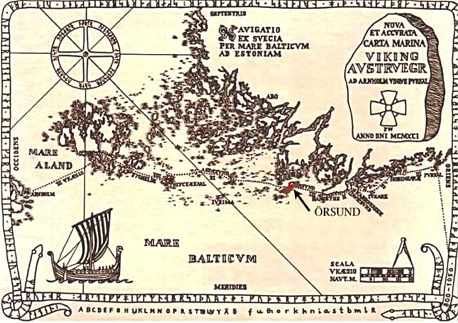
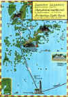
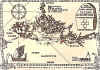
of the Viking islands area
How
to get to the Viking islands from mainland Finland
Map
on the Kimitoön site
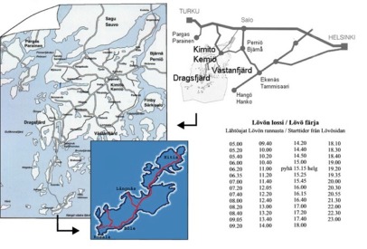
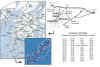
Ferry
time-tables: M/S
Aura Kasnäs - Rosala m/s
Stella Kasnäs
- Vänö - Tunhamn - Holma - Helsingholm - Ängesö - Bolax - Bötesö -
Grönvik - Djupö - Vänoxa - Biskopsö - Dalsbruk Ms
Alva
Dalsbruk - Biskopsö - Vänoxa - ( Djupö - Grönvik - Bötesö - Bolax -
Ängesö )
|
|

|